


Details
Details
Description
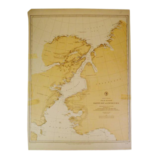
Wall map of Africa by Boulton and Anville 1794. Titled: Africa, with all its States, Kingdoms, Republics, Regions, Islands & … more Wall map of Africa by Boulton and Anville 1794. Titled: Africa, with all its States, Kingdoms, Republics, Regions, Islands & cca. Improved and Inlarged from D’Anville’s map; to which have been added A Particular Chart of the Gold Coast, wherein are distinguished all the European Forts and Factories By S. Boulton. London: Published by Laurie & Whittle, No. 53 Fleet Street at the Act directs 12th May 1794. in 4 joined sheets, Very good condition with minor toning and only one minor chip to the bottom edge. Measures 41″ in x 48″. Unframed, in cellophane sheet.. Considered one of the most important maps of Africa produced in the 18th Century. With notes to customs and people, many did not exist but in legend. A rare piece especially in this condition less
See moreless
Shipping Options
Shipping Options Est. Arrival from Portland, OR to:
The Estimated Arrival date is approximate and not guaranteed. Estimates include production, processing, and shipping times. View Policy
Ask the Seller
Ask the Seller Gary Germer & Associates Portland, OR
No questions or comments yetSee More ()See fewer
Standard Returns & Cancellations
Standard Returns & Cancellations Return Policy – All sales are final 48 hours after delivery, unless otherwise specified in the description of the product. Shop safely with our Chairish Buyer GuaranteeView Policies
New Complimentary Extended Return for Trade
New Complimentary Extended Return for Trade
View Policies</section


Reviews
There are no reviews yet.